
Soil moisture is fundamental to land surface hydrology. Scientists need to know the global distribution and temporal variations of soil moisture so that they can know how much of the precipitation that falls to Earth evaporated back into the atmosphere. Why is this important to know? If scientists know how much of the water has stayed in the soil, they will know how much is available for plant growth.
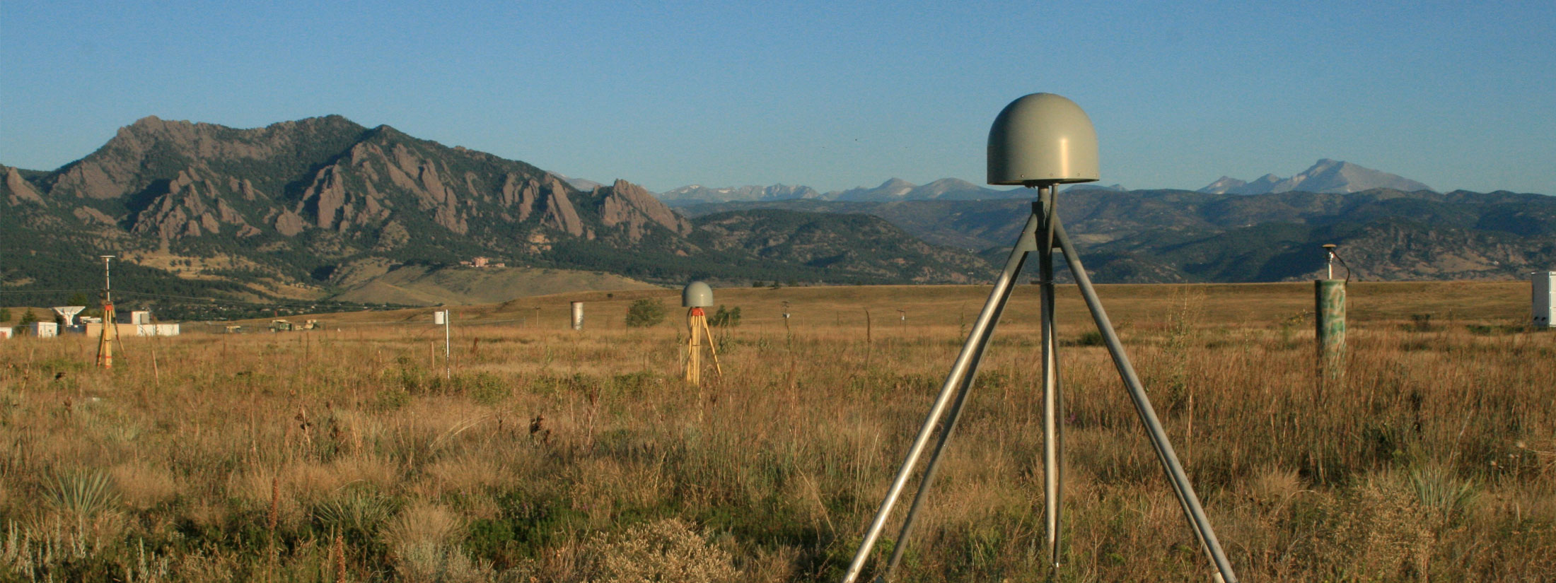
GPS Interferometric Reflectometry (GPS-IR) is a method developed at the University of Colorado, UCAR, and NOAA that can be used to measure surface soil moisture variations. Initially tested in Boulder (see GPS site P041 below), it is now being applied to ~130 sites in the western United States, Caribbean region, and South Africa. These GPS soil moisture data are being used for validation of the NASA SMAP mission. In addition to our PBO H2O portal (now archived at CIRES), the data are also available from the International Soil Moisture Network.

Representation of the water cycle, including soil moisture processes.

Soil moisture variations measured at P041 (colors). The gray region represents the results for 5 in situ sensors buried at a depth of 2.5 cm. Rain events are shown in blue. Both sensors strongly respond to rain events.
PBO H2O in action:

July 18, 2015

July 20, 2015

Yes, it really does rain in southern California.